About the paper
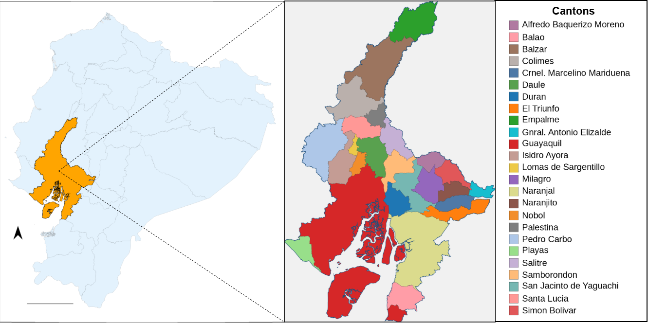
Urban nitrogen dioxide (NO2) is a key indicator of combustion-related air pollution and exhibits strong spa- tial and temporal variability in cities. This study presents a satellite-based framework for tracking urban NO2 pollution using tropospheric column observations from Sentinel-5P/TROPOMI over Guayas Province, Ecuador. Rather than estimating surface concentrations, the methodology emphasizes robust distributional metrics, including the median and upper-tail percentiles (P90, P95, and P99), to characterize background con- ditions and localized pollution extremes at the canton scale. Multi-year satellite observations are aggregated annually and analyzed using unsupervised K-means clustering to identify characteristic pollution regimes without predefined thresholds. Results show that highly urbanized cantons consistently exhibit elevated ex- treme NO2 values and greater variability, while less urbanized areas display lower and more homogeneous patterns. The proposed approach provides an interpretable and scalable tool for urban air-quality assessment in data-scarce regions using satellite observations alone.
Paper
BibTeX
Please cite this paper if you find it helpful,
          @conference{gomez2026airquality,
            title={Tracking Urban Atmospheric Pollutants using Sentinel-5P Satellite Data},
            author={Velesaca H. O., Gomez-Cantos A.},
            booktitle={Int. Conf. on Data Science, Technology and Applications},
            year={2026},
            pages={1--8},
            publisher={SciTePress},
            organization={INSTICC},
          }